TOP 5 reasons Aerial LiDAR can help your Surveying / Engineering company
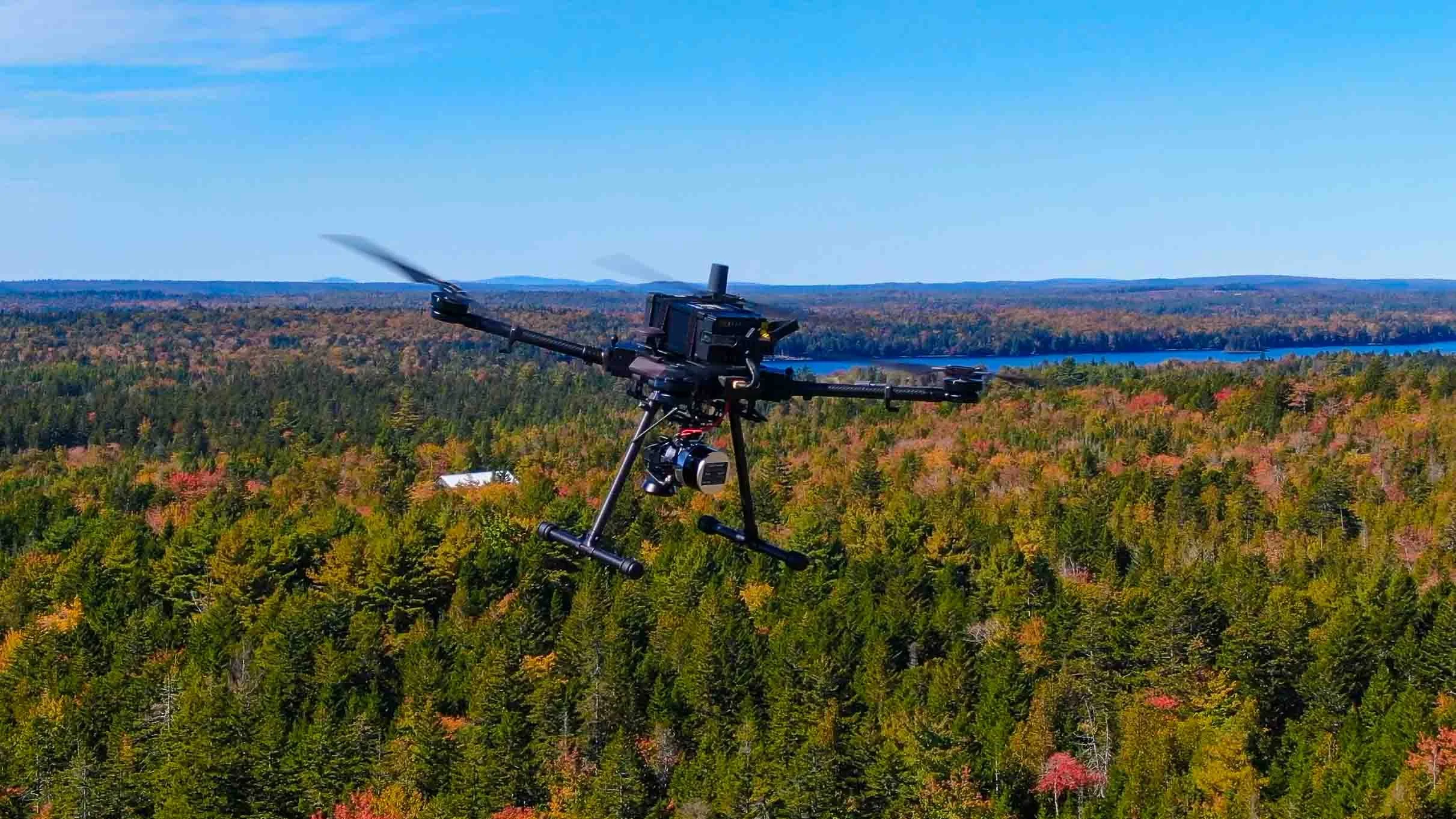
SkyVue LiDAR penetrates straight to the ground in the thick Maine forest
You know that having accurate, up-to-date data is critical to success. But collecting that data can be time-consuming and expensive. That's where drone lidar comes in.
Here are the top 5 reasons why drone lidar can help your surveying or engineering company:
1. Collect data faster Drone lidar can collect data much faster than traditional surveying methods. This means you can get the data you need in a fraction of the time, and move on to your next project sooner.
2. Cover more ground A drone can cover a lot more ground than a person can, meaning you can survey a larger area in the same amount of time. This is especially useful for large projects.
3. Get into hard-to-reach places There are some places that are just difficult or impossible to reach with traditional surveying methods. But a drone can fly into those hard-to-reach places and collect the data you need.
4. Save money Drone lidar can save you money in a few ways. First, it can help you collect data faster, which means you can move on to your next project sooner and bill your client for less time. Second, it can help you cover more ground, which means you can survey more projects in the same amount of time and bill your clients for more projects.
5. Get accurate data Drone lidar can collect extremely accurate data. This is important for both surveying and engineering applications. If your data is inaccurate, it could lead to problems down the line. If you're in the surveying or engineering industry, drone lidar can be a valuable tool that can help you save time and money while still getting accurate data.
I want to connect with you on your projects and save you time and money on fieldwork.
Feel free to call and we can discuss your needs.